©
Michael / Adobe Stock
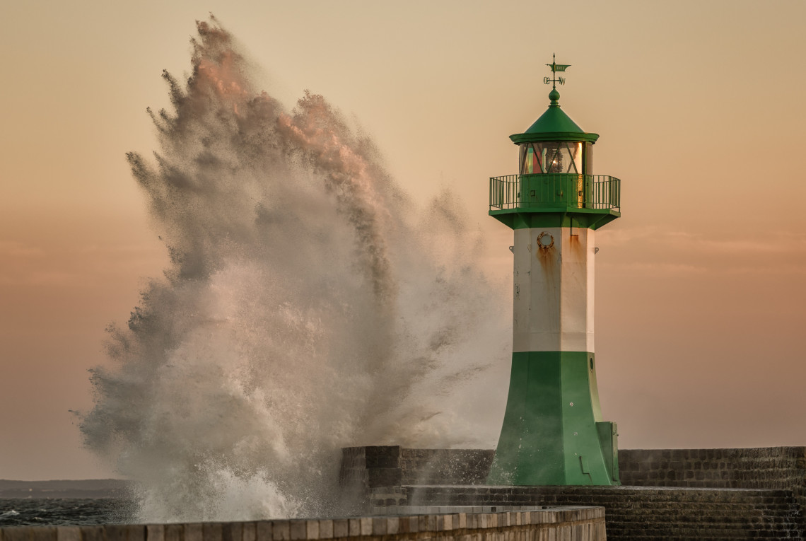
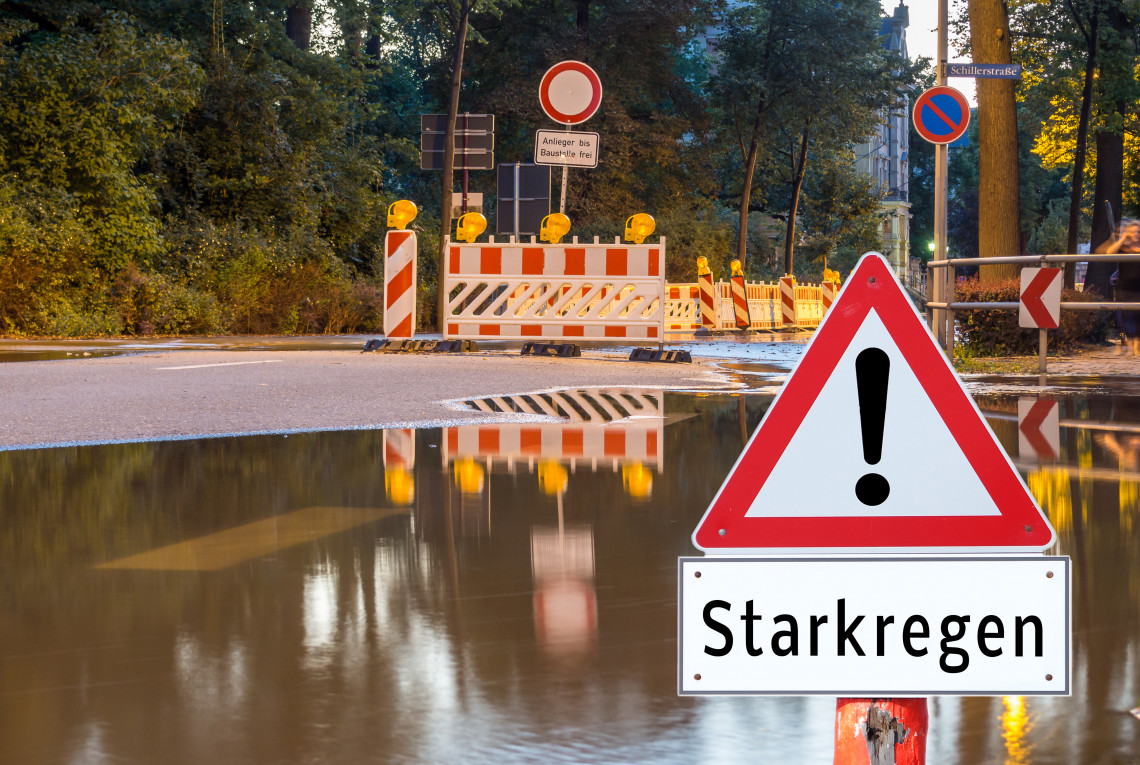
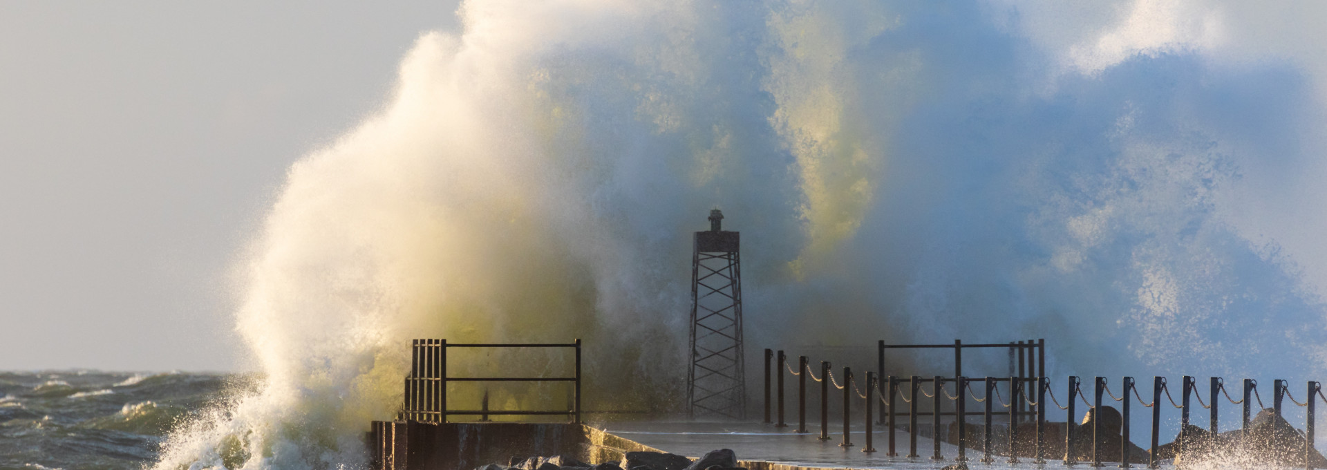
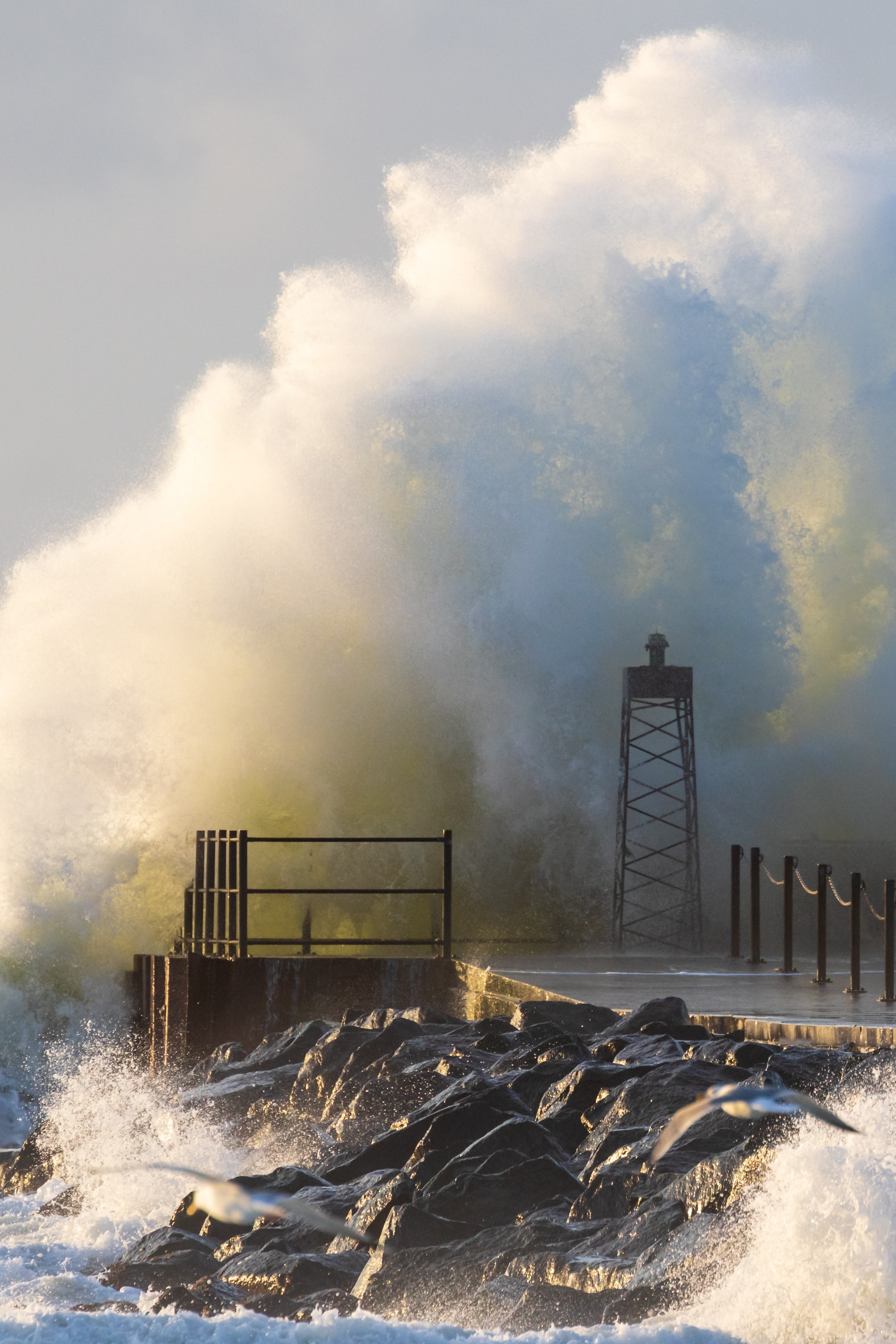
Nowadays, whenever a European windstorm sweeps across Germany, many people wonder whether climate change is to blame. The new storm monitor website now provides answers to this and other questions. In this interview, Oliver Krüger explains what other information the storm monitor offers and who he expects will use it.
Mr. Krüger, the new storm monitor has been launched and is now available online. Why is it important to determine how strong a storm is?
For some years now, we have seen a steady increase in the number inquiries from journalists during a storm event or a European windstorm, asking us if what we are seeing is still part of normal weather phenomena or due to climate change. The storm monitor compares a current storm with storm data from the past seven decades, making it possible now for the first time to classify a storm at a glance.
Are storms nowadays actually stronger?
No, that is by no means always the case. The intensity of storms in the 1980s and early 1990s, for example, was far greater than it is today. As our monitor shows, the number and intensity of storms currently fall within the natural range of fluctuation. And looking ahead to the future, the calculations of the Intergovernmental Panel on Climate Change do not yet paint a consistent picture with regard to this issue.
What was the strongest storm seen on a German coast?
That was the European windstorm called Adolph Bermpohl, which occurred over the North Sea in 1967. It was named after the sea rescue cruiser, bearing the same name, which was lost in the storm. It was the last time such high wind speeds have been recorded over the German Bight.

Besides journalists, who else stands to benefit from the new website?
Essentially anyone interested in the weather and storms in particular. Many people especially in northern Germany take an interest in the topic. The storm monitor can now answer questions such as, “Is the current storm still part of normal weather phenomena or is it due to climate change?” Of course, the storm monitor will also be useful to authorities who oversee civil safety and disaster control. In the future, we want to make the 70-year time series publicly available as well. We have already been in contact with reinsurers that want to use the data to run their own risk and damage calculations. We ourselves here at the Helmholtz-Zentrum Geesthacht are curious to see who ends up using the storm monitor and for what purposes.
The storm monitor provides various information. What can users expect to find there?
The comparison of wind speeds in a current storm situation with their development over the long term could be particularly interesting. Website visitors can also see how many storms there have been in the current season or in the past month and find out how much that number deviates from the long-term trend. In addition, the website contains a lot of fundamental information about wind and how wind speed is calculated, providing even people unfamiliar with the subject with an easy way to start learning more about storms.
You studied meteorology and initially focused on climate prediction at the Max Planck Institute for Meteorology in Hamburg. How did you pivot to storms and wind?
Wind and the weather in general have always interested me. I grew up on a farm in Brandenburg, where the weather is a big deal, because you depend on it. When I was sixteen, I took my own weather measurements every day for fun, entering temperatures and precipitation into a logbook. When I was at the Max Planck Institute, I came into contact at some point with Hans von Storch here at the HZG, which was the GKSS at the time, who asked me if I would like to write my doctoral dissertation on calculating wind speeds using atmospheric pressure data. It’s a method that he developed together with colleagues from Germany’s National Meteorological Service. I then validated and refined the method in my dissertation. One very nice outcome of that is the storm monitor.